7-Day Returns
Free Shipping $250+
Fast
Delivery
Ordering for a school or district?
Submit Purchase Orders with Net-30 Day Terms. Registered Tax-exempt Accounts Supported.
National Geographic
Continents of the World Flags and Facts, folded, Map Pack Bundle, Folded: 4.25" x 9.25" ; Flat: 25.25" x 18.5"
$49.95
National Geographic's Reference maps with Flags & Facts Map Pack Bundle of Continents includes the seven continents on six waterproof tear-resistant maps. Each continent map includes a political map with countries and cities carefully placed for…
Read more
- Age Group
- 8+ years
- Grade Level
- Grade 4+
- Material
- Paper, Plastic
- Color
- Multi
In stock — 13 available
Expected back in stock: Jun 29, 2026
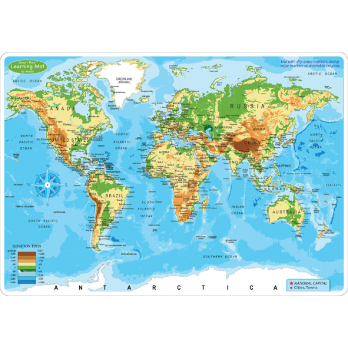
National Geographic's Reference maps with Flags & Facts Map Pack Bundle of Continents includes the seven continents on six waterproof tear-resistant maps. Each continent map includes a political map with countries and cities carefully placed for maximum readability. Each map also includes a physical map of the continent artistically representing the mountains, valley, plains, rivers, lakes and other physical features. The flags and facts for every country, enhanced with representative photographs portraying themes and regions are also included.
The maps are printed on waterproof, tear-resistant material which can be folded and unfolded hundreds of times making them perfect for quick reference to the news of the day or classroom use. The world-class cartography of National Geographic is now available in a format that will easily fit in a drawer without the need for an enormous table or wall space for a quick and easy reference source.
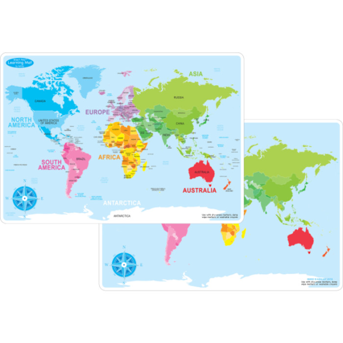
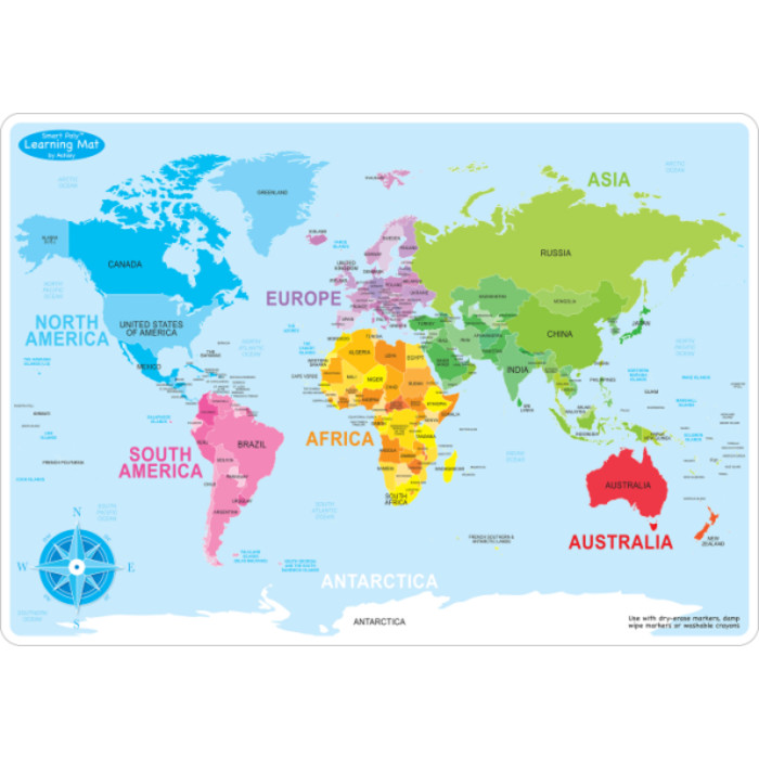
The Continents of the World Map Pack includes:
Africa with Flags & Facts
Asia with Flags & Facts
Australia and Oceania with Flags & Facts
Europe with Flags & Facts
North America with Flags & Facts
South America and Antarctica with Flags & Facts
Every Flags & Facts Reference map is printed on "Classroom Tough" waterproof, tear-resistant paper.
The maps are printed on waterproof, tear-resistant material which can be folded and unfolded hundreds of times making them perfect for quick reference to the news of the day or classroom use. The world-class cartography of National Geographic is now available in a format that will easily fit in a drawer without the need for an enormous table or wall space for a quick and easy reference source.
The Continents of the World Map Pack includes:
Africa with Flags & Facts
Asia with Flags & Facts
Australia and Oceania with Flags & Facts
Europe with Flags & Facts
North America with Flags & Facts
South America and Antarctica with Flags & Facts
Every Flags & Facts Reference map is printed on "Classroom Tough" waterproof, tear-resistant paper.
Key Features
- National Geographic's Reference maps with Flags & Facts Map Pack Bundle of Continents includes the seven continents on six waterproof tear-resistant maps.
- Each continent map includes a political map with countries and cities carefully placed for maximum readability.
- The maps are printed on waterproof, tear-resistant material which can be folded and unfolded hundreds of times making them perfect for quick reference to the news of the day or classroom use.
- Every Flags & Facts Reference map is printed on "Classroom Tough" waterproof, tear-resistant paper.
- Measures 4.25" x 9.25" folded and 25.25" x 18.5" flat
| Age | 8+ years |
|---|---|
| Assembly Required | No |
| Balloon | No |
| Battery Included | N |
| Brand | National Geographic |
| Color | Multi |
| Contains Aerosol | No |
| Contains Chemicals | No |
| Contains Pesticide/Herbicide/Fungicide | No |
| Contains a Circuit Board | No |
| Contains a Light Bulb | No |
| Contains a Marble | No |
| Contains a Small Ball | No |
| Contains or is a Small Magnet | No |
| Eco Friendly | No |
| Free Flowing Liquid | No |
| Grade | Grade 4+ |
| Has Warranty | No |
| Height (in) | 1.000000 |
| ISBN (Mfr Reference) | 9781566959391 |
| Is a Marble | No |
| Is a Small Ball | No |
| Length (in) | 6.000000 |
| Marketing / Educational Features | Wall Reference Maps |
| Material | Paper, Plastic |
| Media Mail Eligible | No |
| Package Contains | 1 Africa; 1 Asia; 1 Australia; 1 Europe; 1 Nrth America; 1 South America |
| Package Count | 6 |
| Product Series | Travel Maps |
| Registered with WERCS | N |
| Regulated by the US FDA | No |
| Sharp Points or Edges | Yes |
| Size | Folded: 4.25" x 9.25" ; Flat: 25.25" x 18.5" |
| Small Parts | No |
| Suitable for Consumption | No |
| Unit of Measure | ST |
| Vendor | NATIONAL GEOGRAPHIC MAPS |
| Width (in) | 4.000000 |
Write Your Own Review
No active discounts apply to this product right now.
Related Products